We’d tried to do the Cascade Saddle Route a couple of times in previous years, but you really want good conditions for it. It’s also harder before December, because some bridges are removed (so that they don’t get taken out by avalanches). Turns out that those would actually be some pretty serious river crossings, especially in spring.
Anyway, like every year, reading week 2026 was in mid-February, and midterm week was the week after. Hopefully there would be a weather window. I left Toronto on the Friday, arriving in Wellington on Sunday afternoon via Vancouver and Auckland. On Tuesday, I got the new Wellington Judo Academy constitution approved, and we took a morning flight WLG-CHC on Wednesday.
It turns out that everything was full in Queenstown and Wānaka. There was a confluence of Chinese New Year, a motoring festival in Queenstown, and the Wanaka challenge. Rental cars and accomodation were difficult. The CHC flight helped with flight and car rental, but didn’t help with accommodation.
The Approach: getting to the road-end, February 18 to 21
Before getting to the Cascade Saddle, we needed to get from CHC to Aspiring Hut. We originally planned something quicker, but the weather wasn’t favourable, so we took our time.
Christchurch to Mount Cook Village, February 18


Our flight left Wellington at 6:30AM and arrived at Christchurch at 7:50AM. The flight was even a bit early. But the car rental place opened at 8am. Car rental pickups have recently been pretty quick and not annoying. I was surprised that the car made no noise when I turned it on: it was a hybrid and got about 4L/100km on our trip, which was great with the expensive petrol in NZ (or, I thought it was expensive in February).
With accommodation generally being impossible, I figured that the New Zealand Alpine Club’s Unwin Lodge would work. It’s a super comfortable and pretty economical place to stay, especially for NZAC members, but the lack of Internet is annoying when one needs to do planning. There is one specific place outside the door where one gets some bits.
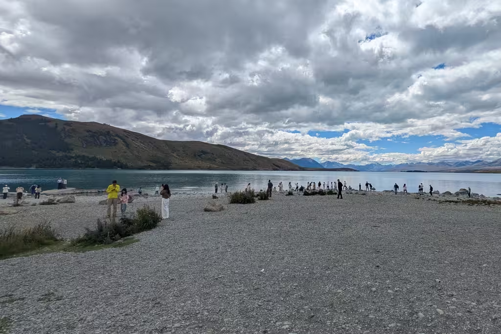
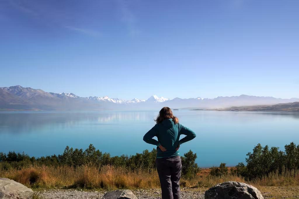
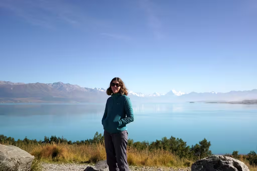
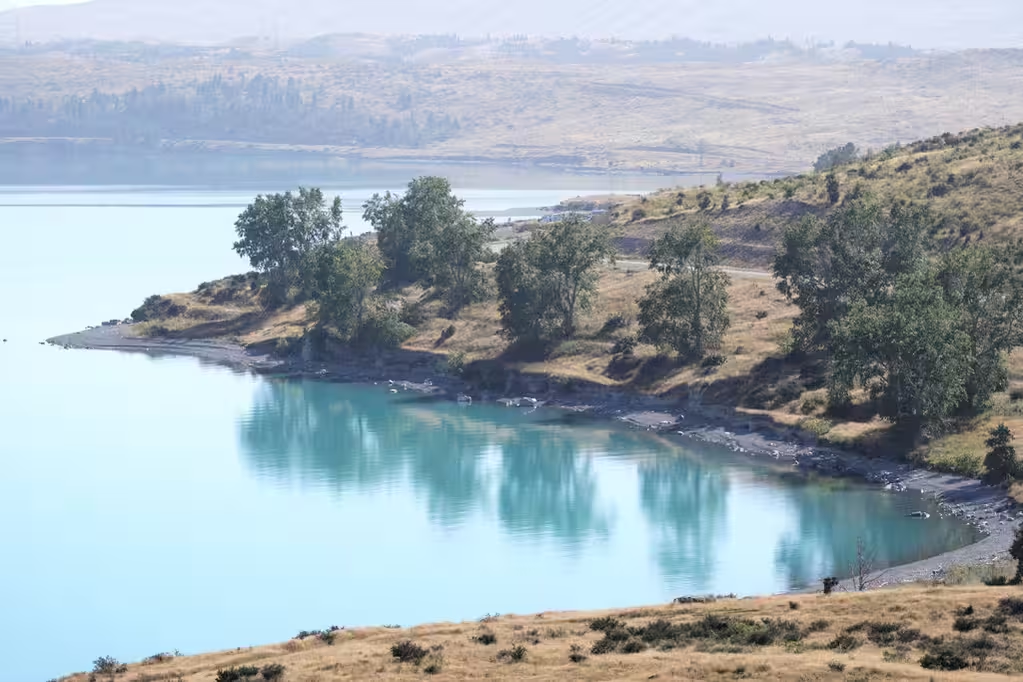
On the way to Unwin Lodge, we also stopped at Lake Tekapo, though the lupins weren’t in season, and Lake Pukaki, which is where one gets the views of Aoraki. It was a good day for Aoraki views. We stopped for some salmon sashimi on the shores of Lake Pukaki. Parking at the viewpoint was difficult.
Mount Cook Village to Wānaka to Queenstown, February 19
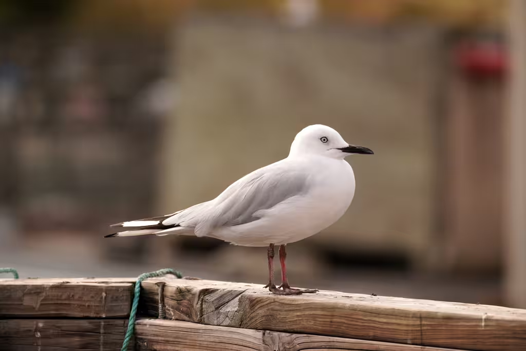
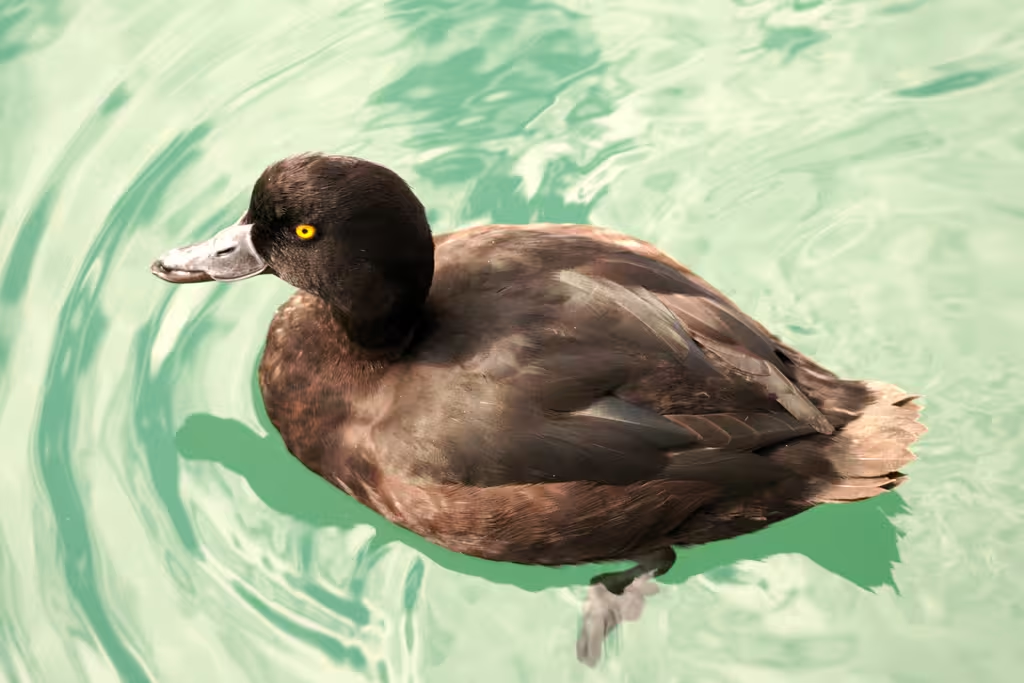
The next morning, we continued on our way to Wānaka, with breakfast in Twizel (while I took a FAUW governance committee call) and a stop at High Country Salmon. It was busy with tourists as well as birds (black-billed gulls, scaups, sparrows).
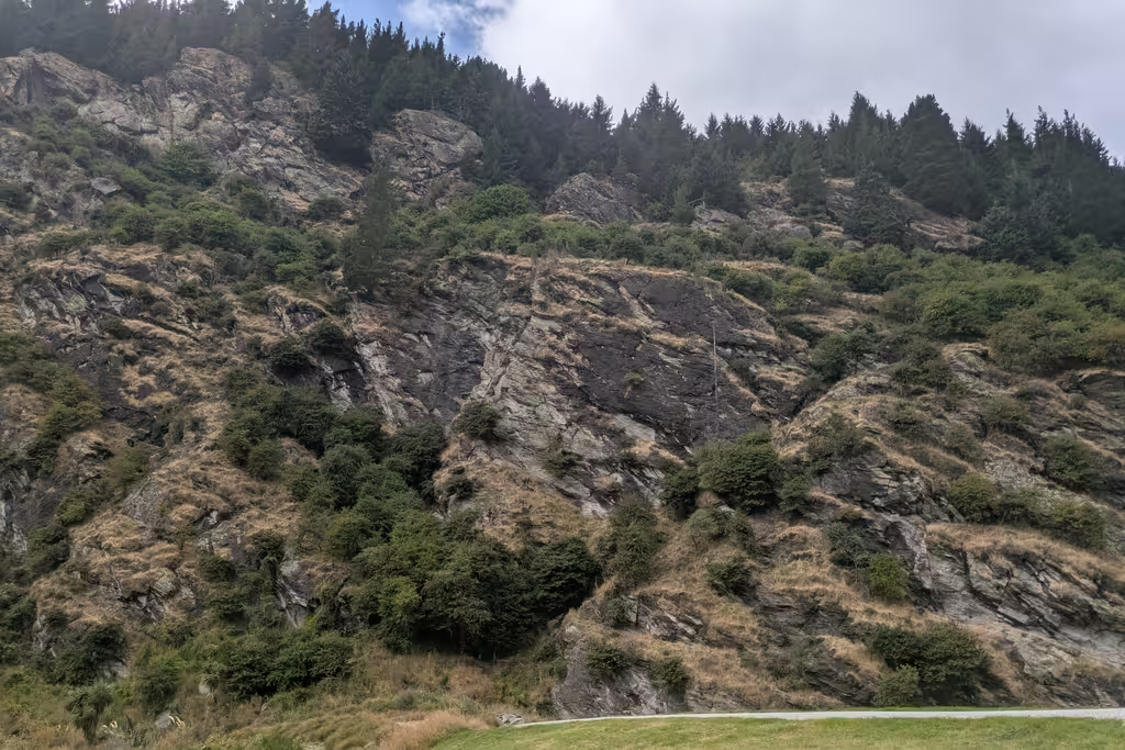
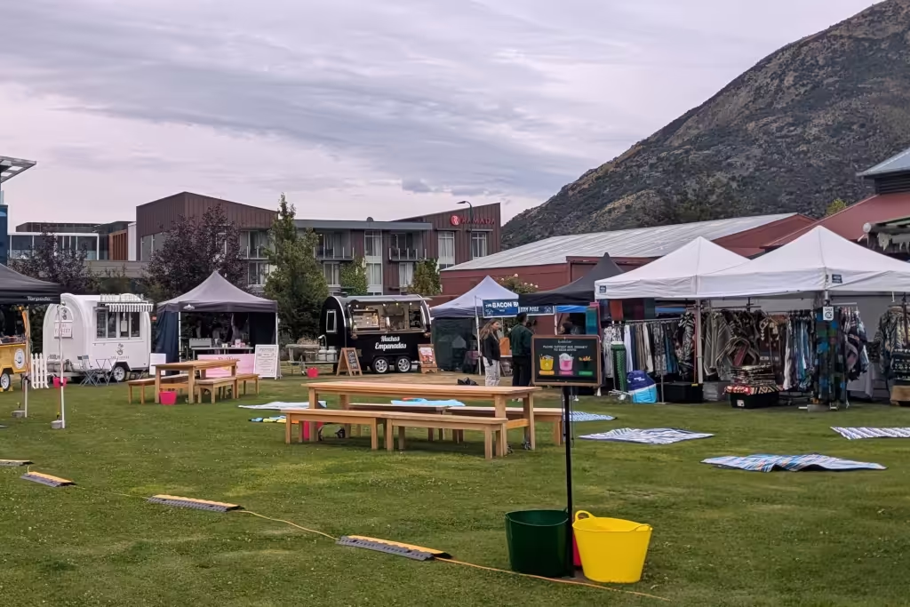
Getting to Wānaka, we got some food from the food trucks (parking again difficult) and then proceeded to try to climb at Diamond Lake, but the rain meant that Diamond Lake was not a good bet. Instead, I tried to climb some things at Mount Iron, but bailed on Spiral Staircase (18) and led Toe the Line (19). Mount Iron is overhanging, so it stays dry in the rain, but, well, it’s overhanging.
I also discovered that I had failed to pack my climbing shoes. Fortunately, I discovered that MP’s shoes fit me.
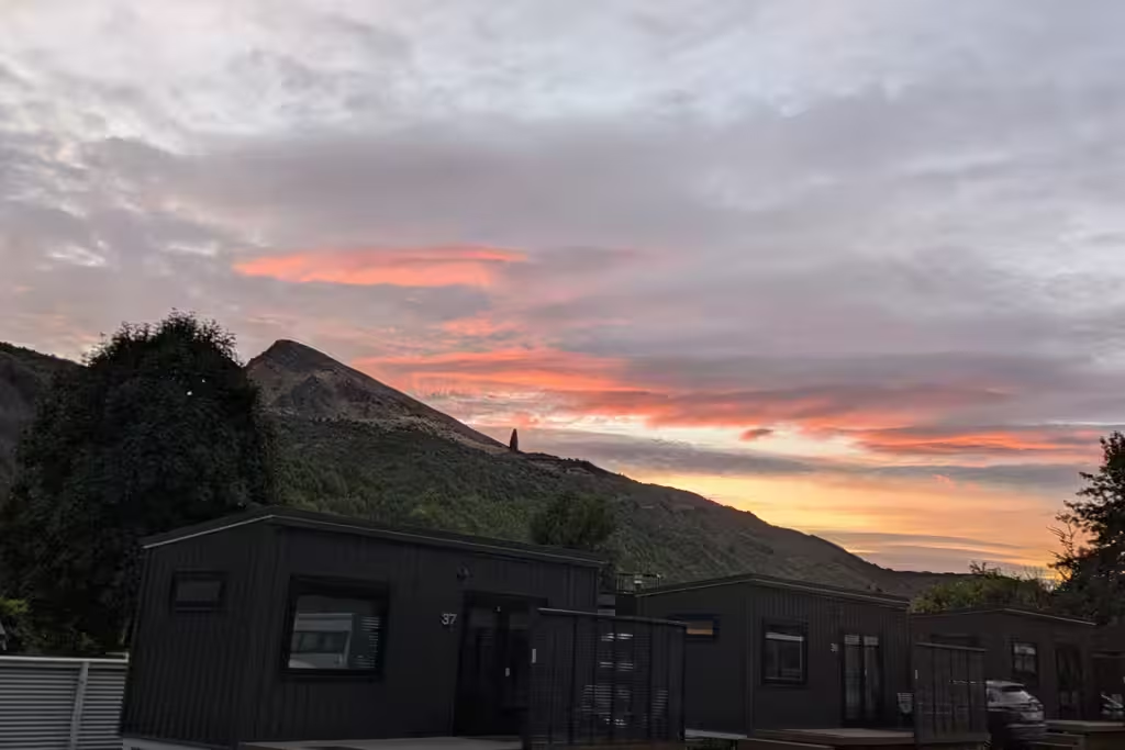
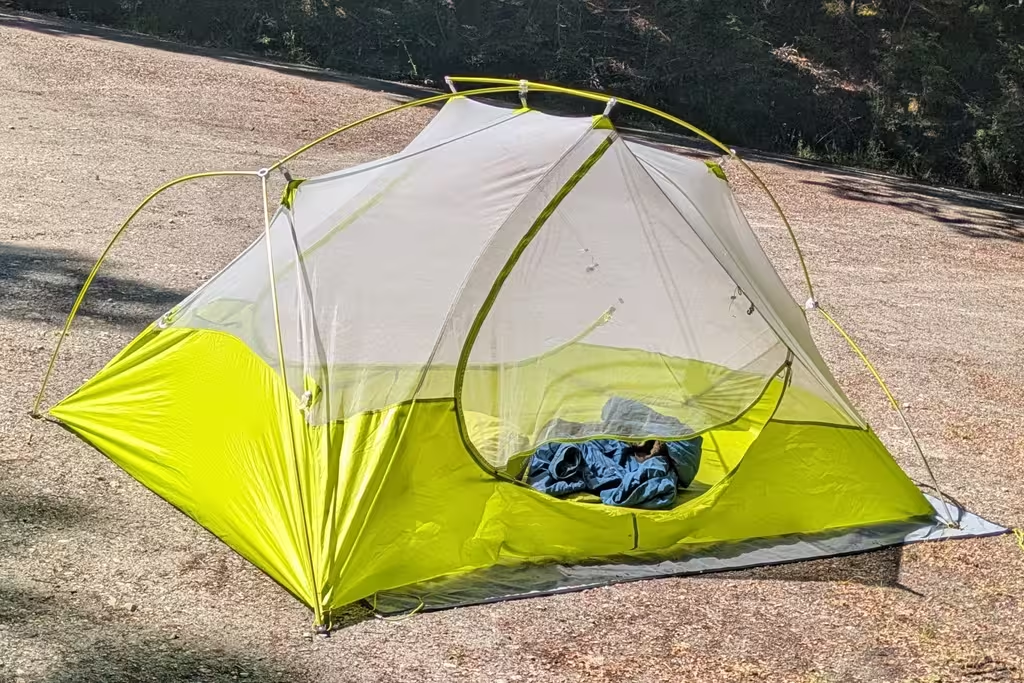
We then continued onwards to Queenstown, where we had a campsite at the Arrowtown Holiday Park. Also fortunately, we also had our tent. We didn’t have to use it on the track, but we did have to use it before.
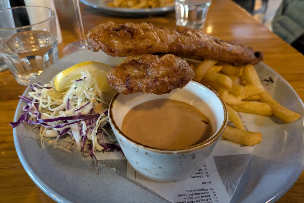
We had dinner in Arrowtown at Mantra, which was decent Indian food.
Staying put, February 20
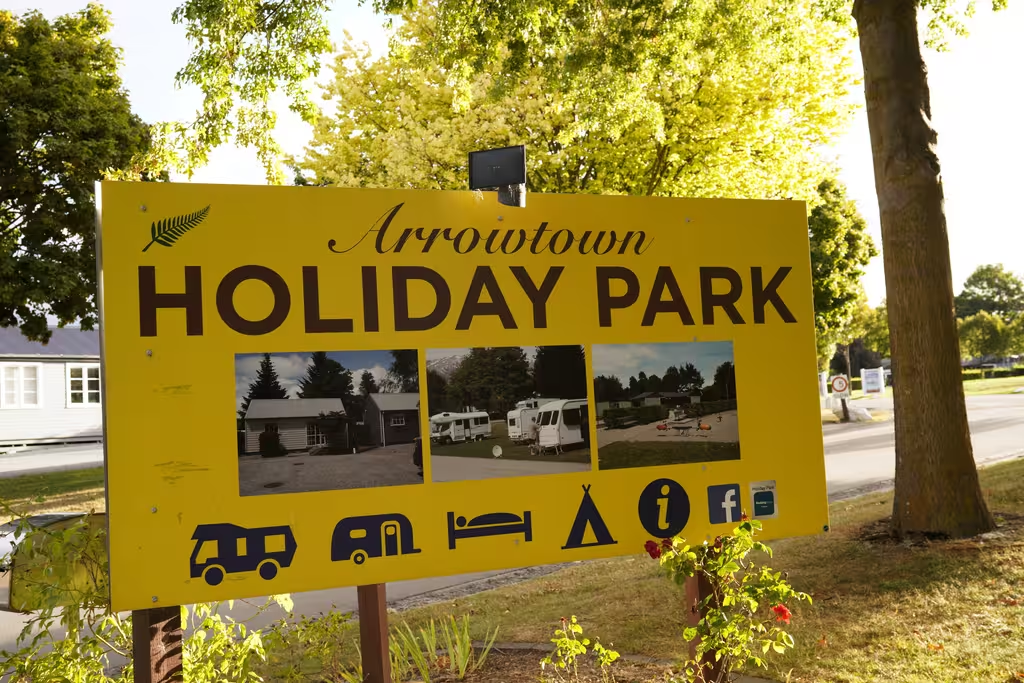
Given the weather forecast, it still seemed to be too early to set off for Cascade Saddle, so we moved more of the climbing that was scheduled for after-Cascade-Saddle to before-Cascade Saddle. We had a campsite in Cromwell but the Arrowtown holiday park thought they had a last-minute cabin. It turned out they didn’t, but they felt really bad about that, so they let us pay to stay in the overflow camping (a patch of grass, normally for thru-hikers). Still, it saved 90 minutes of driving, as nice as Cromwell may or may not be.
We had leftovers from Mantra, so that was part of our breakfast. And there was a scone from Gantley’s Pub, which was decent. Gantley’s Pub is actually close to both Gorge Road and Skyline Queenstown; you can see the gondola from the crag.
Didn’t get up to Leonardo’s Wall but did climb most of the climbs at Magnum Wall right at the base, including an onsight of RD (19) with a roof move, and flailing on Teen Wolf (18).
Finally, we returned to Cave for some decent sushi.
Arrowtown to Wānaka to Raspberry Creek, February 21
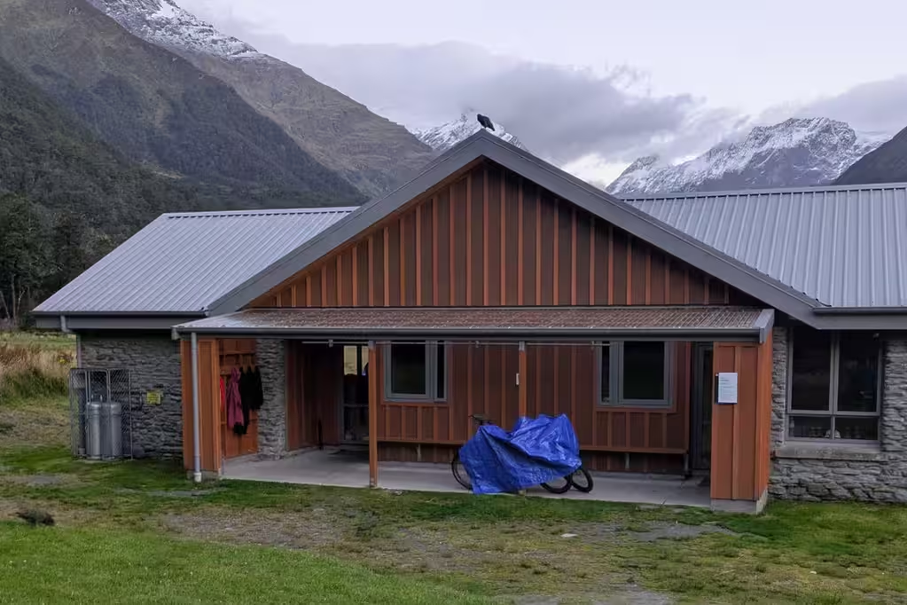
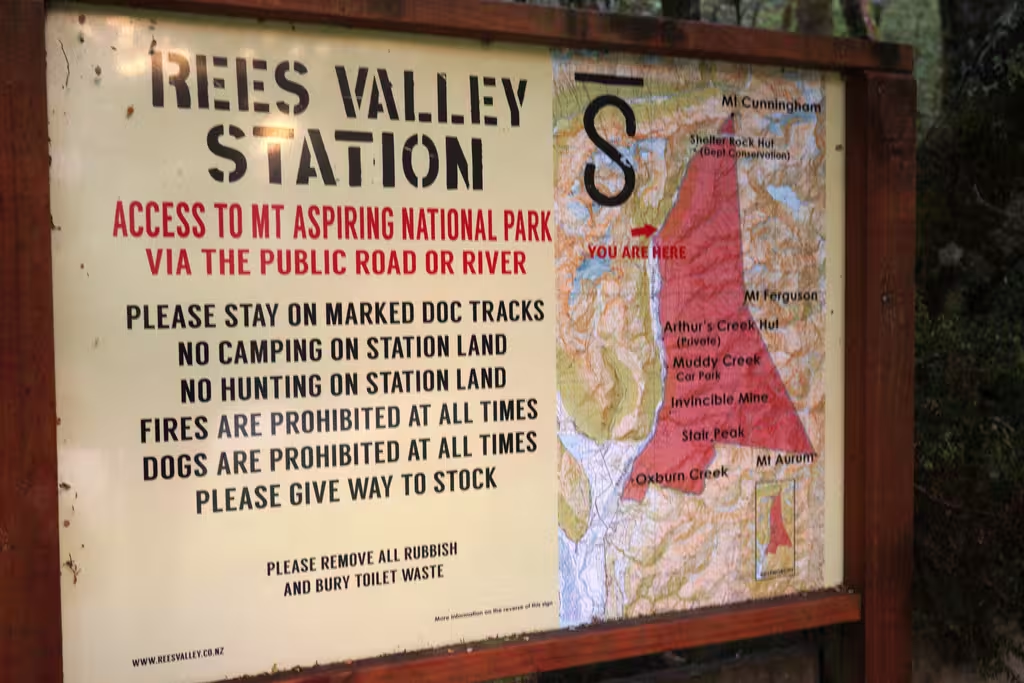
The first time we went to Aspiring Hut was on a day trip in March 2020, though that was the previous iteration of the hut. Also two visits to Aspiring Hut when we had thought about Cascade Saddle but not actually done it: March 2024 and December 2024, in addition to the trip where we didn’t actually fly to the South Island, in May 2024.
This time, we left the rental car in off-airport parking in Queenstown (pretty cheap, $9/day in 2026) and got a shuttle from the airport to Wānaka. There was the Remarkables Market in Frankton on my way from the parking lot to ZQN, but it wasn’t quite open yet at 8:45, and I had to catch the shuttle. (Maybe it’s more food-truck heavy than farmer heavy).
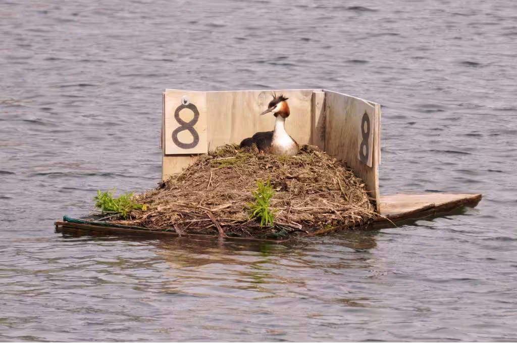
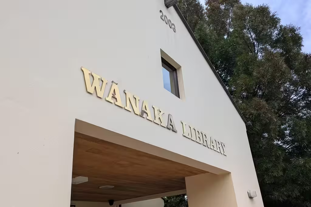
The next shuttle, to Raspberry Creek, was at 1pm, so we had 3 hours in Wānaka: enough time to check out the grebes and Big Fig. Also waited in the library. The library also directed patrons to alternate working spaces with more capacity; it is fairly small and demand is relatively large.
The shuttle ran as a shared transfer because Ben and Marie-Christine from Germany had signed up for it as well, planning to walk out to Aspiring Hut, stay there, and then walk back via the Rob Roy Track; they were good company in the shuttle and at the hut.
Cascade Saddle, February 21 to 24
The weather might work, so off we went.
| Distance | Elevation | Time | |
|---|---|---|---|
| Raspberry Creek Carpark to Aspiring Hut | 9km | +117m/-36m | 2h13 |
| Cascade Saddle: Aspiring Hut to Dart Hut | 15.6km | +1516m/-1037m | 10h40 |
| Dart Hut to Shelter Rock Hut | 10km | +609m/-689m | 5h39 |
| Shelter Rock Hut to Muddy Creek Carpark | 19.4km | +150m/-520m | 6h50 |
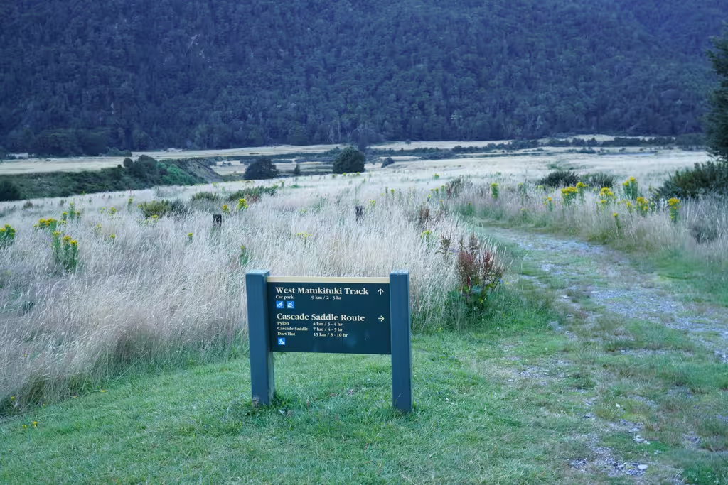
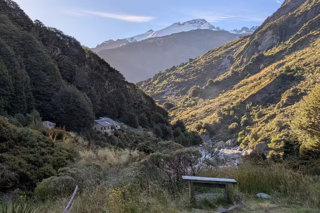
Raspberry Creek to Aspiring Hut, February 21
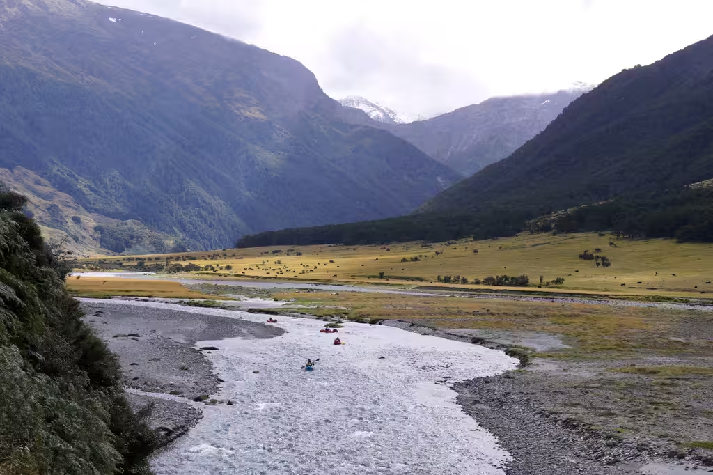
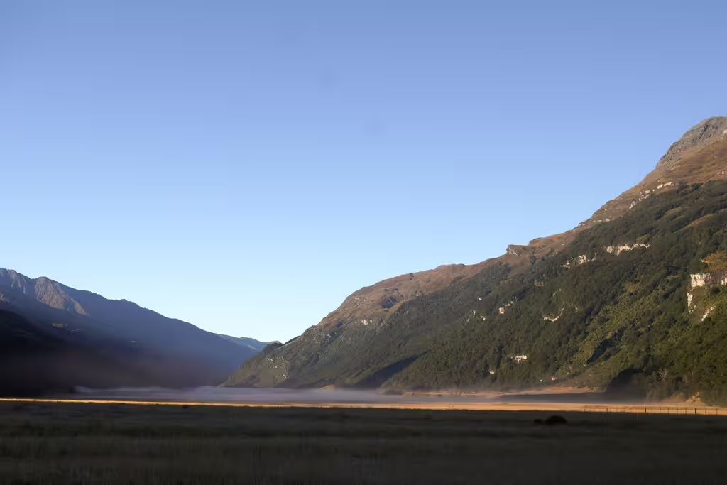
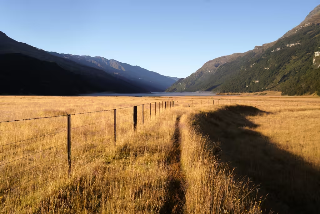
The walk from Raspberry Creek was again uneventful and we got there just before significant rain, in record time for us (2h13). No kārearea pictures this time, though there were some packrafters coming down the river.
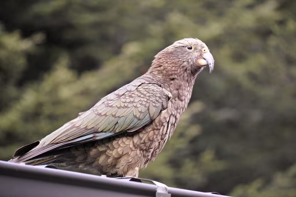
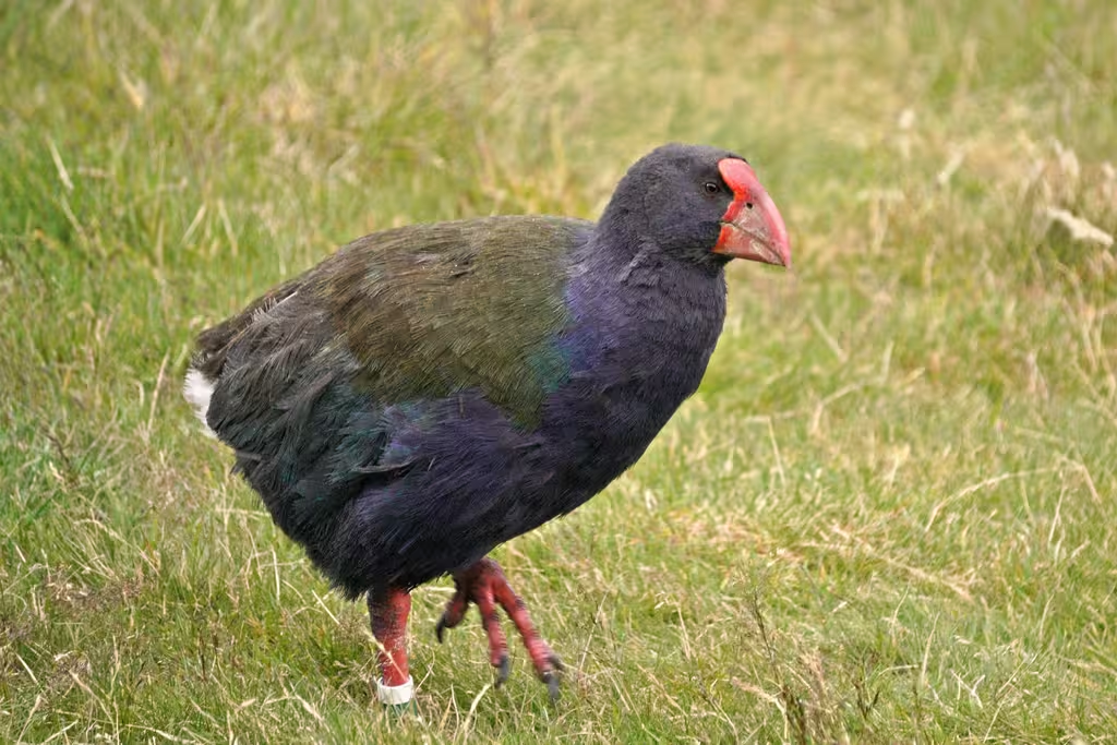
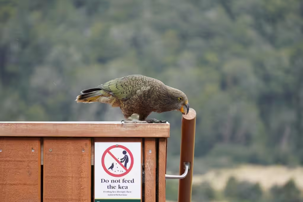
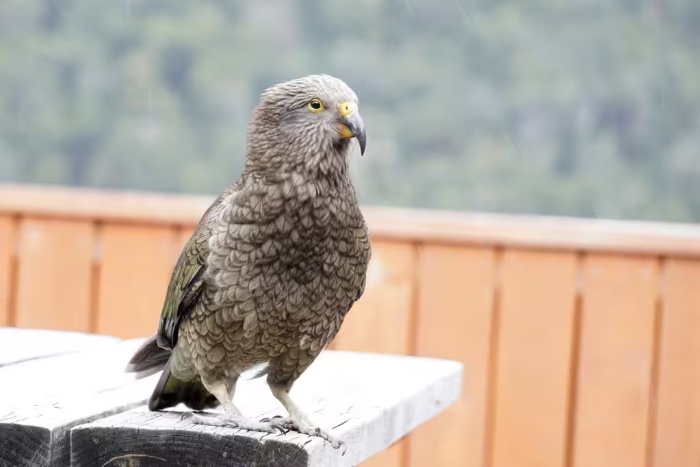
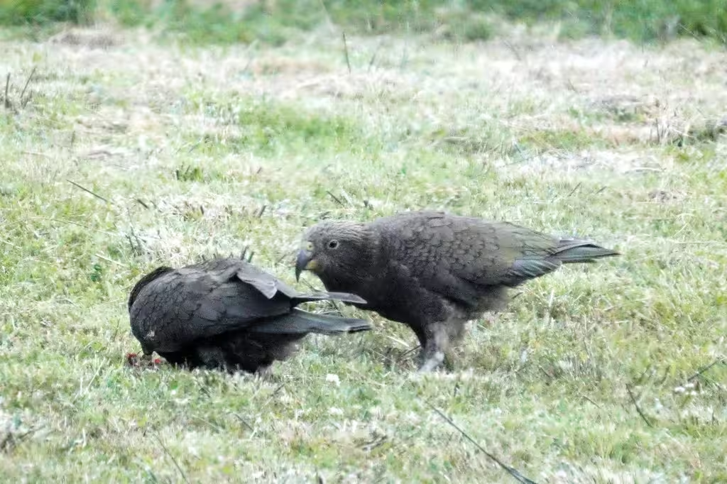
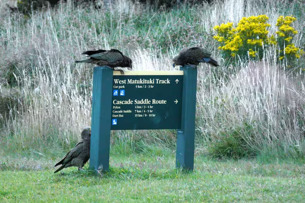
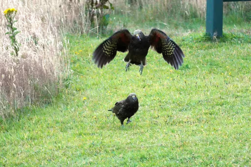
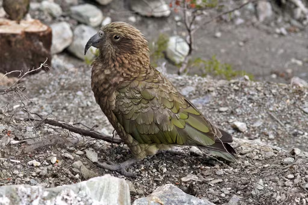
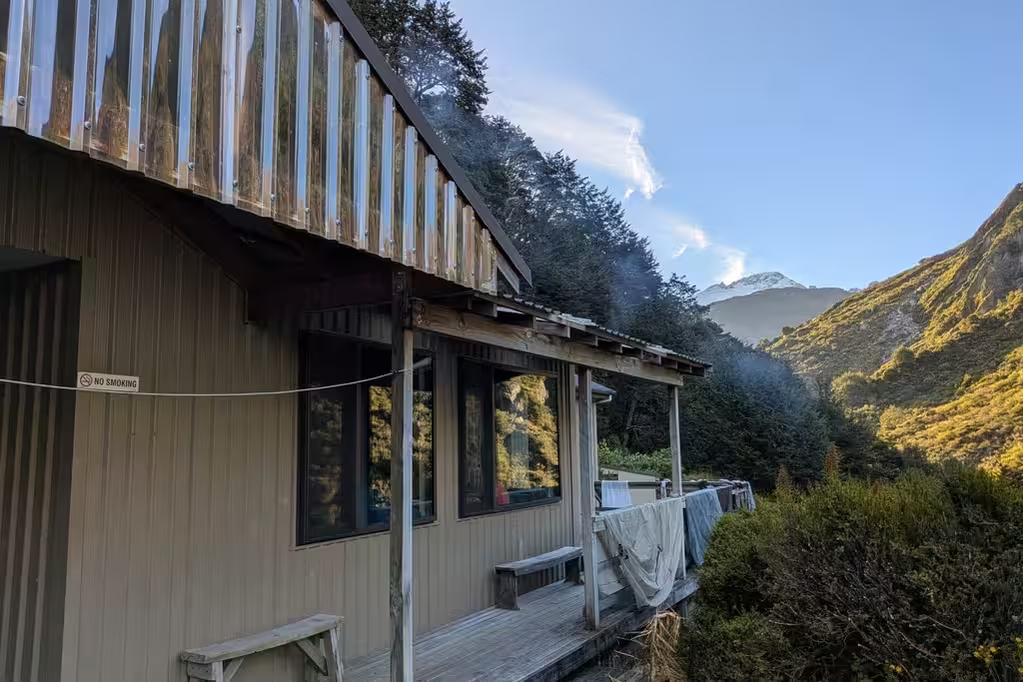
This time, though, the huts had lots of kea: I think half a dozen at Aspiring Hut. I’ve never seen so many at this hut (or any hut, for that matter). Many of them were juveniles (teenagers).
It did rain significantly around midnight (30mm?); the question was: when would the rain stop? And, would there be too much wind? I was checking the weather on the inReach, and the ranger also was supposed to receive a weather update. There was another party that was going over the Cascade Saddle and then back via Lochnagar and Shotover Saddle. Seemed hard.
Ranger Anna was pretty encouraging about the weather, even if MP was nervous about the Cascade Saddle. DOC tries to make it sound scary, but it really isn’t.
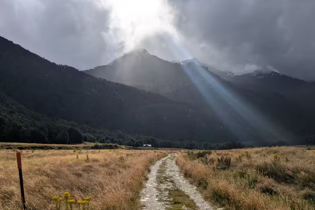
Crux Day: Cascade Saddle (Aspiring Hut to Dart Hut), February 22
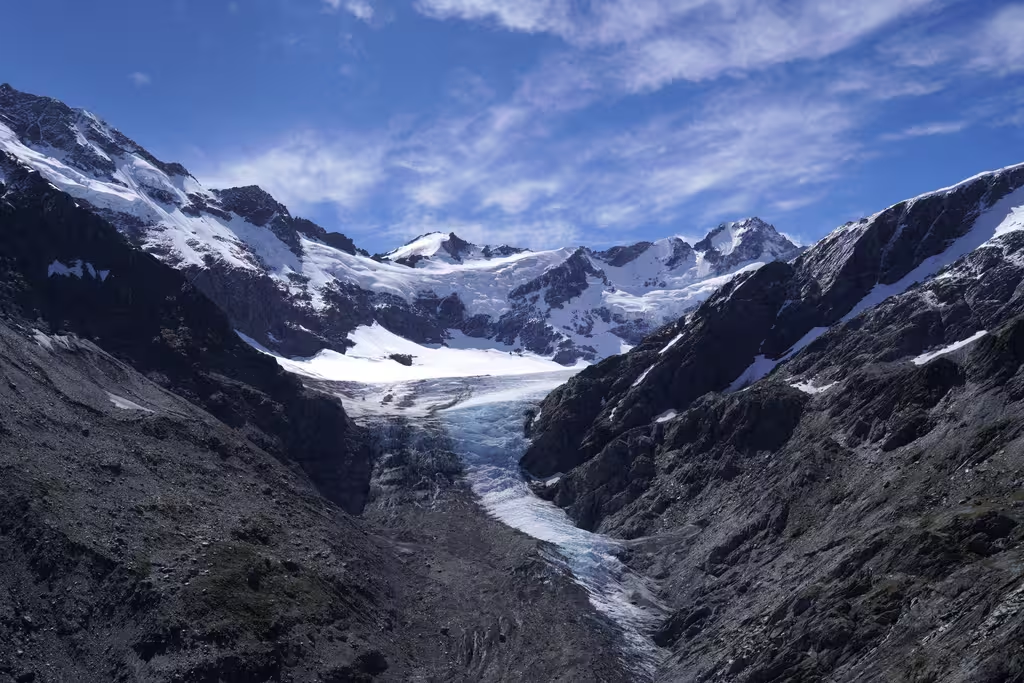
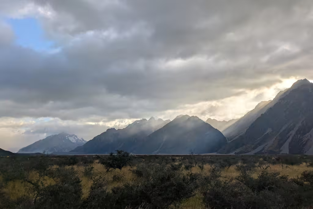
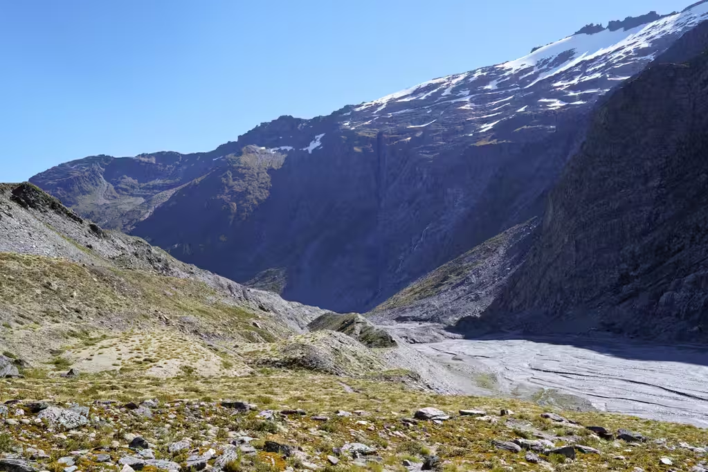
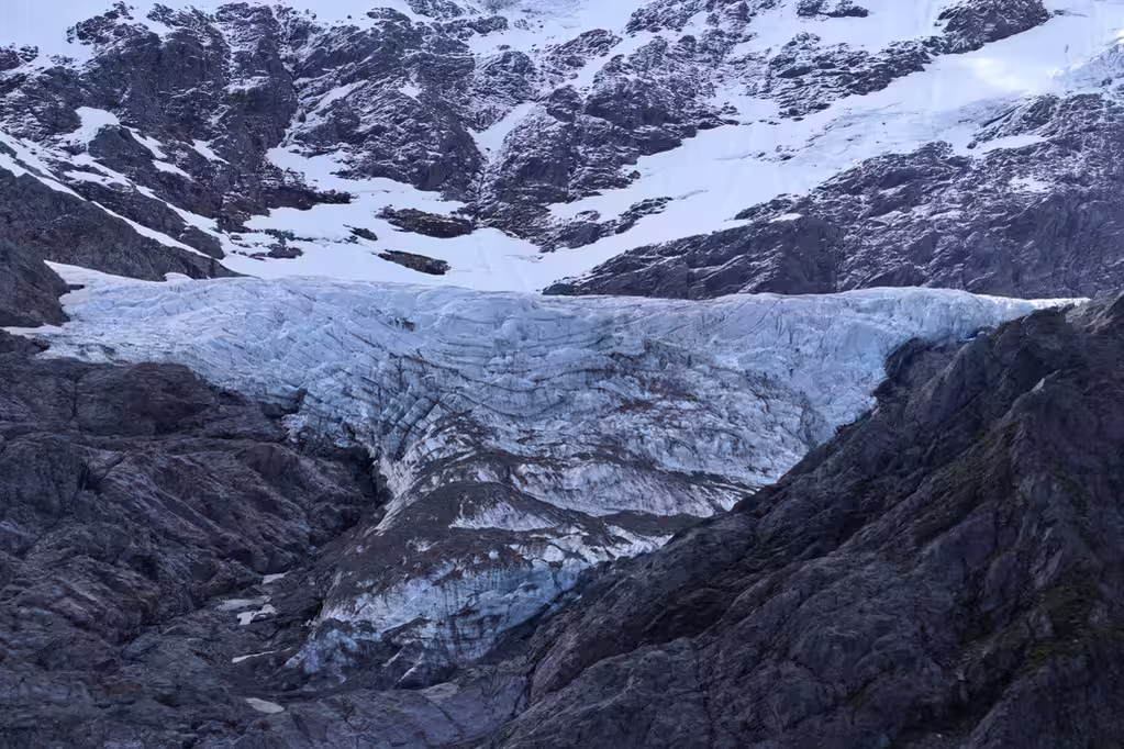
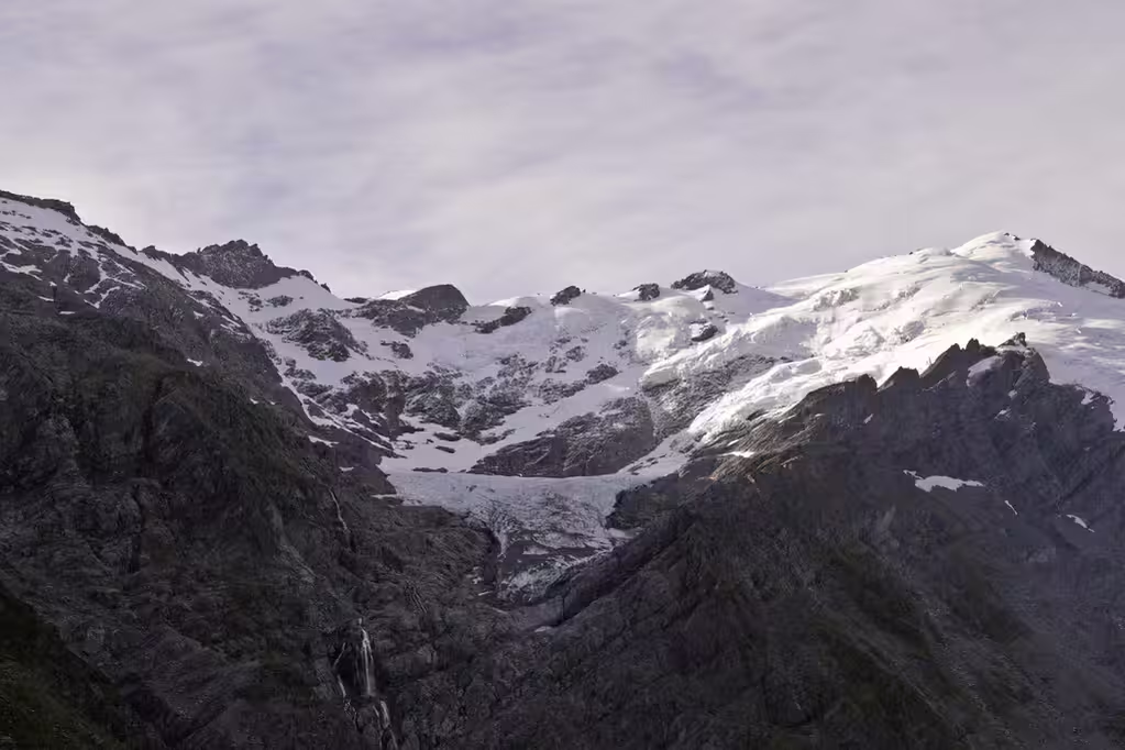
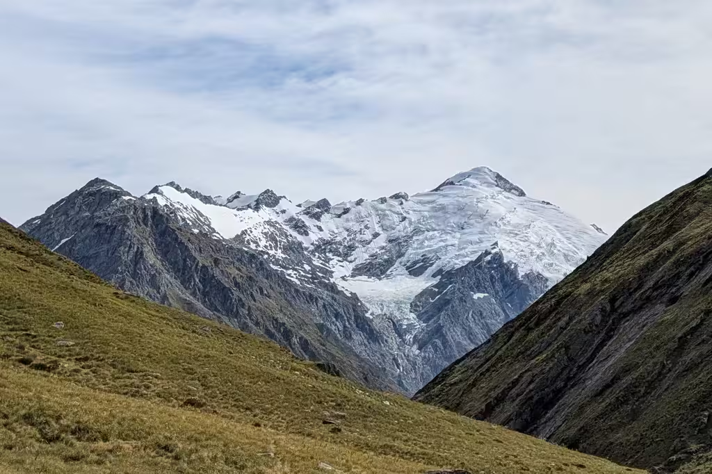
tl;dr: Great views of the Dart and Reid glaciers, as well as some others. The track isn’t really that technical, but there are some bits of scrambling, and it wouldn’t be fun to descend the Matukituki side in wet weather. Routefinding on the Dart moraine descent takes some care.
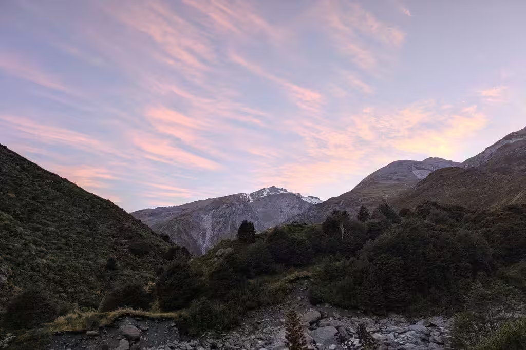
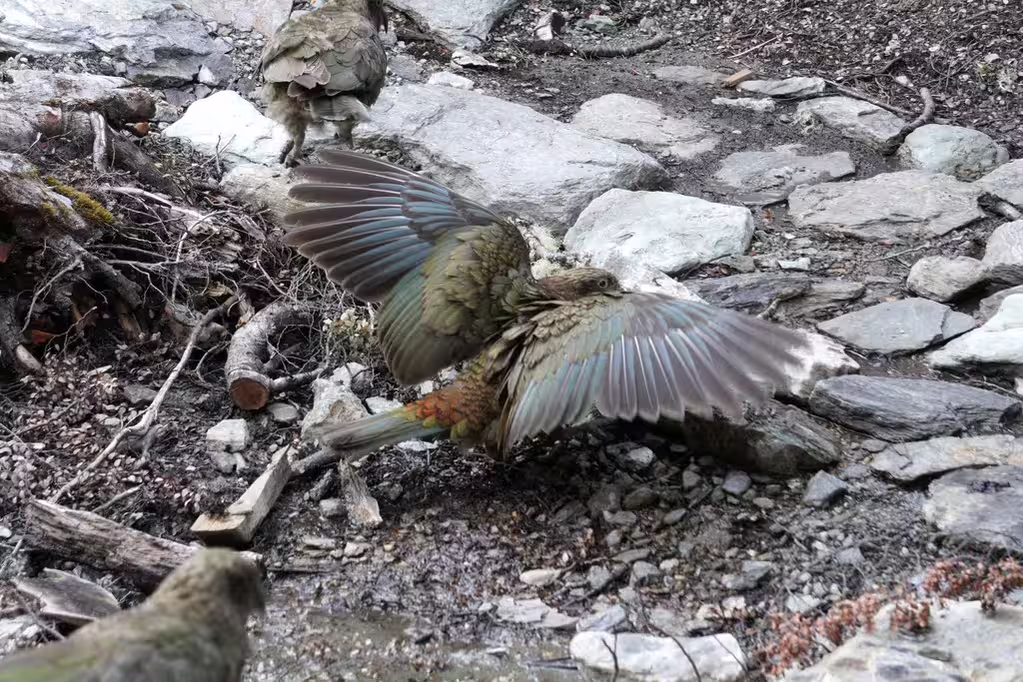
We were up at 7:15 but waited for the ranger weather report at 8:30. The Lochnagar party decided to leave at 7:30, though we’d see them at Dart Hut before they set off. Meanwhile I took pictures of kea and of people taking pictures of kea. Also of mountains at dawn. The kea tried to steal my inReach as I was waiting for another weather forecast. Didn’t see any more keas during the hike, except for an overflight by 2 keas on the saddle.
The weather looked good (“very tidy” per the ranger), so we set off on the Cascade Saddle. Indeed, it was not going to rain until 4pm on the 23rd, and was supposed to be clear and not too windy all day. (Our backup plan was French Ridge, but that hut was full. There was another party who had recently been on Cascade Saddle and was going to French Ridge, having recently completed the Te Araroa.)
This time, due to the later start, we got to treeline around 11am. We were there at 10:30 in December 2024. At treeline, the weather was still clear, and would remain clear all day, with light winds.
- Gallery: under construction
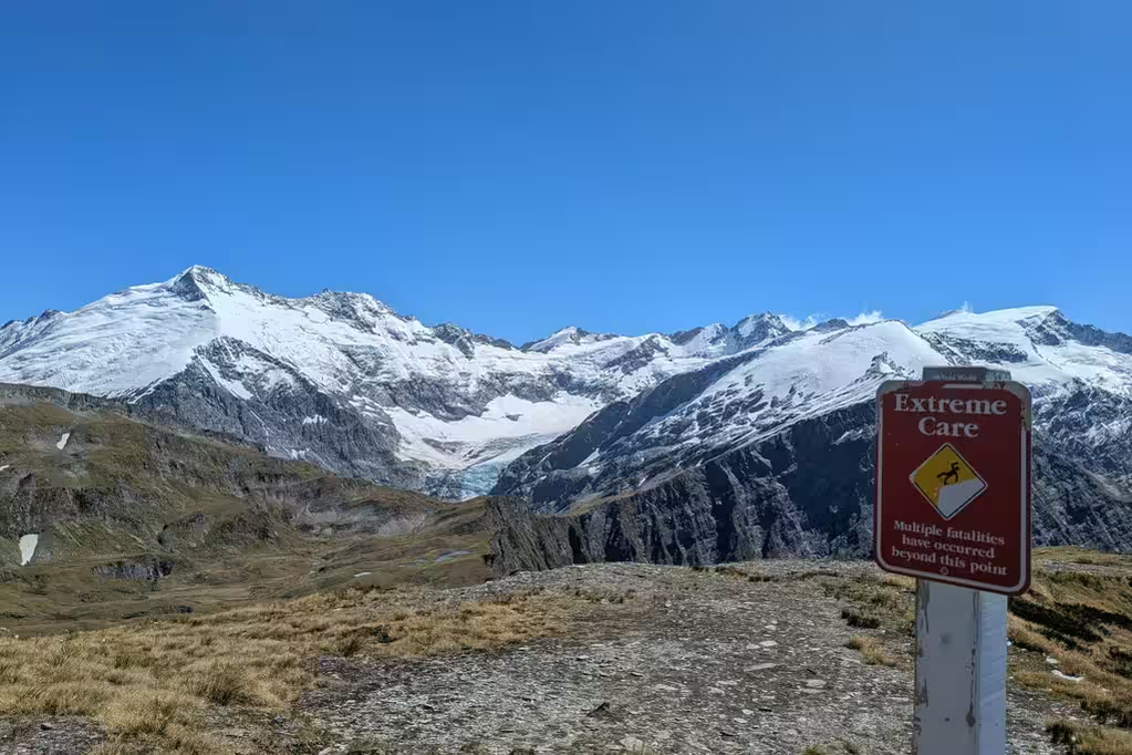
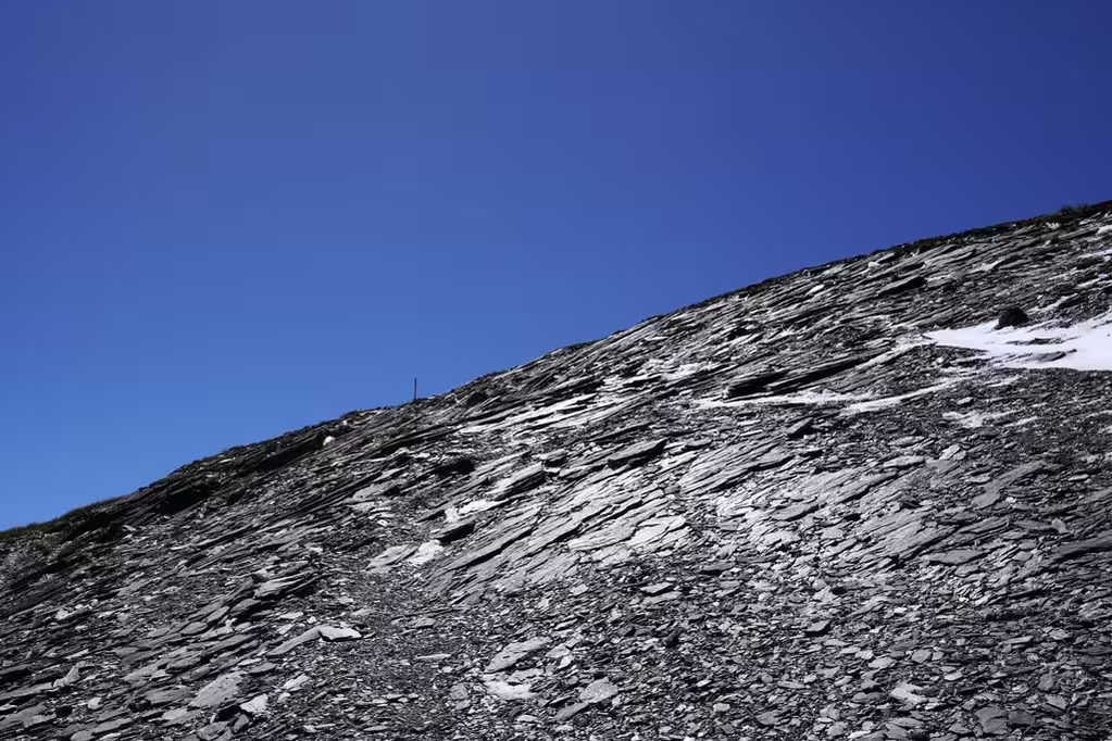
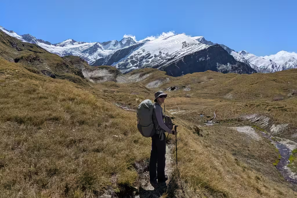
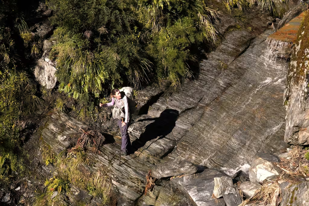
From treeline, we still had 2 hours to the high point and another 600m of elevation gain. This is the part that is tricky in bad weather: scrambling on wet rock is never ideal. In this case the rock was dry, so it was not tricky at all, and the scrambling bits are relatively short. Things to note are the Instagram photo spot, and the signs warning of fall hazards. The fall line would take you right over the cliff, so not ideal. The views over the Matukituki valley and the mountains are very good. The warning signs are, somehow, after the part that felt the most dangerous, though maybe that’s not as true when there is snow.
For some reason, it took another 2 hours to get to Cascade Saddle itself. I don’t quite know what happened except for lunch and a break at the super clean toilet. It shouldn’t have taken that long to walk 2km with just a bit of elevation loss.
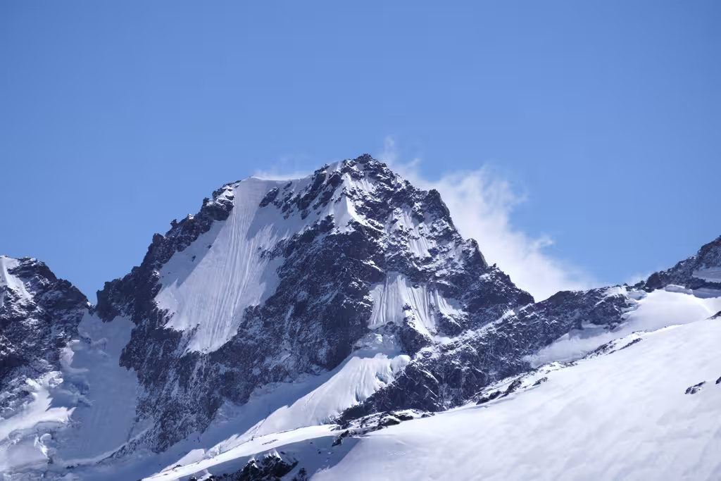
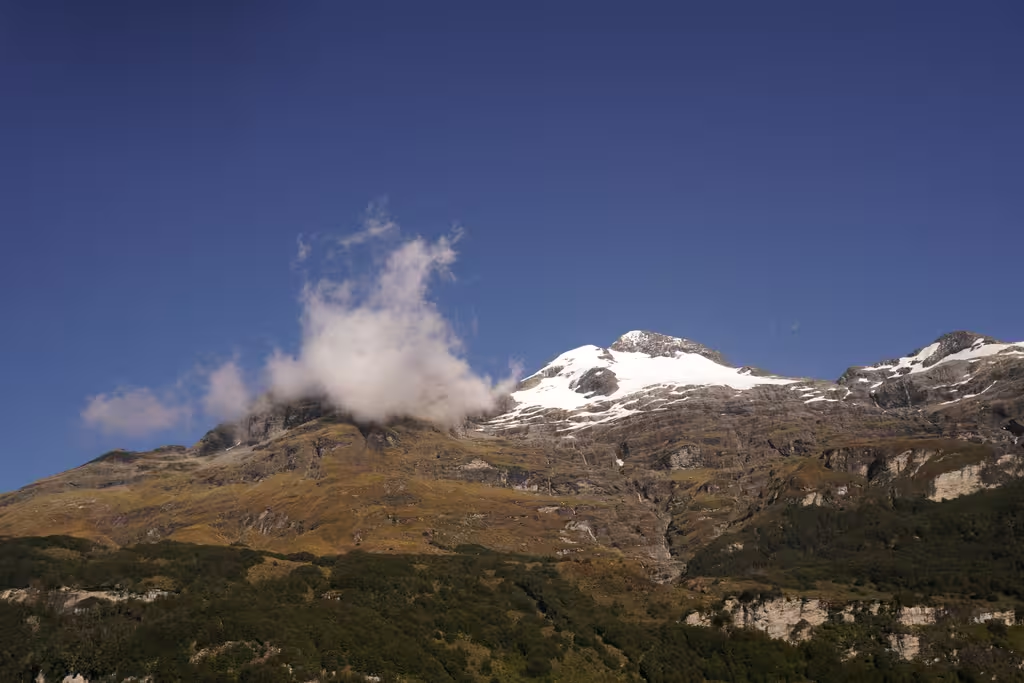
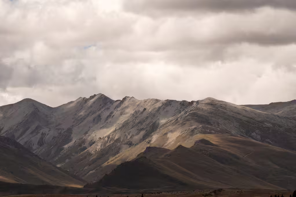
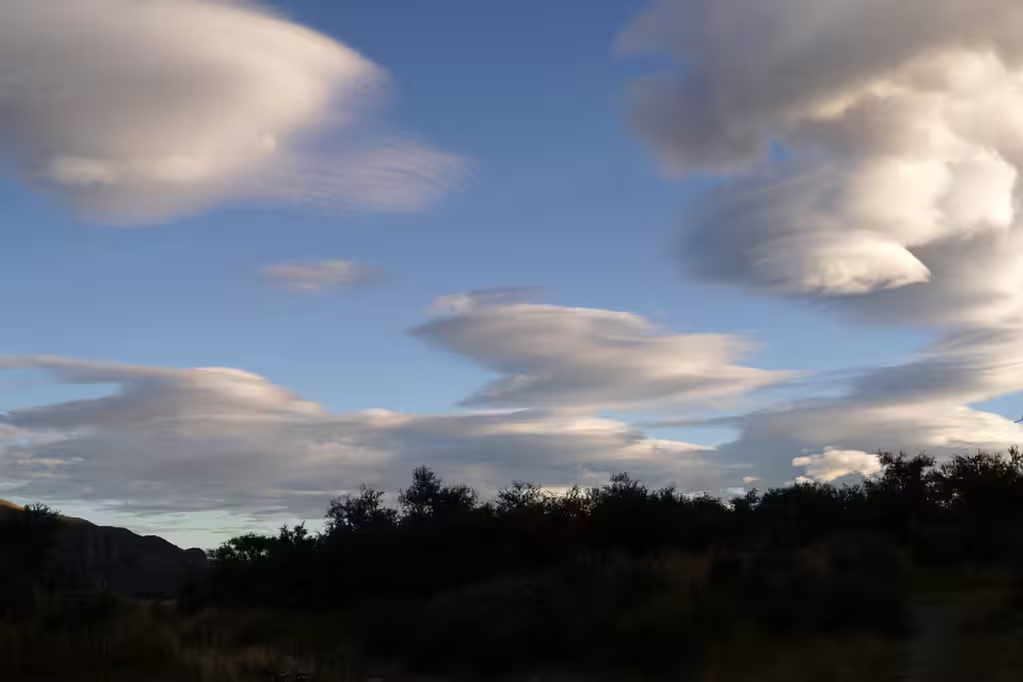
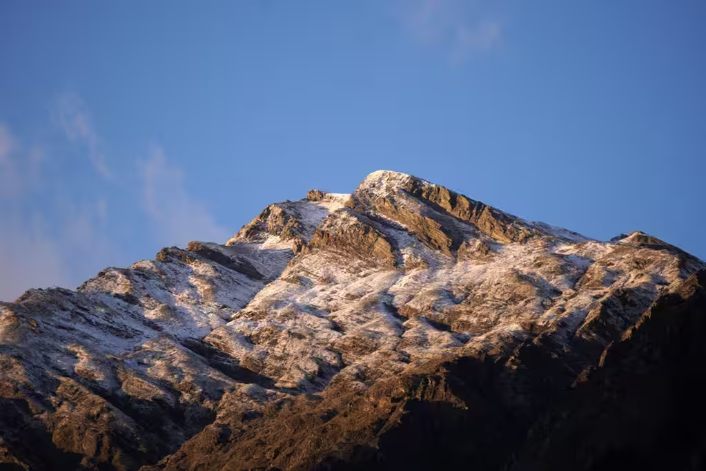
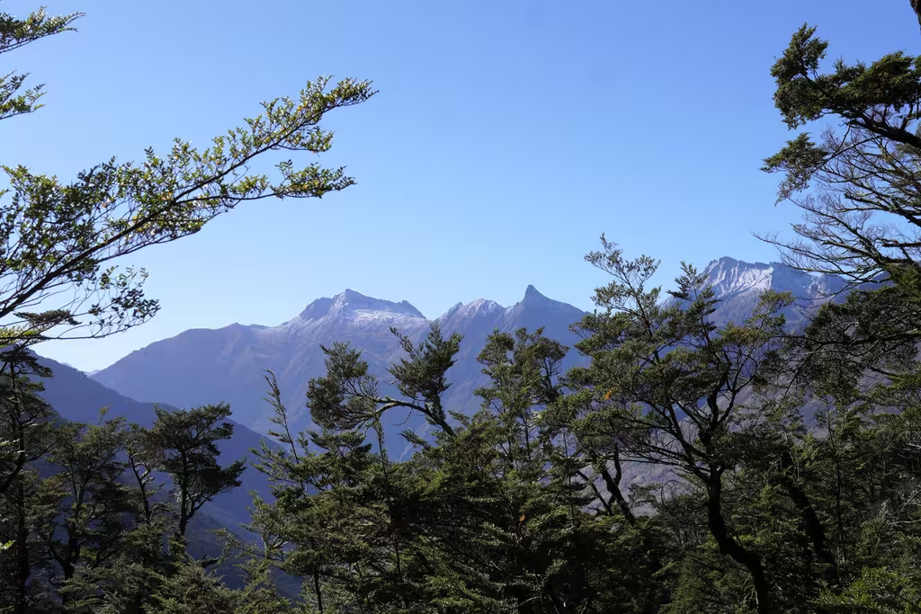
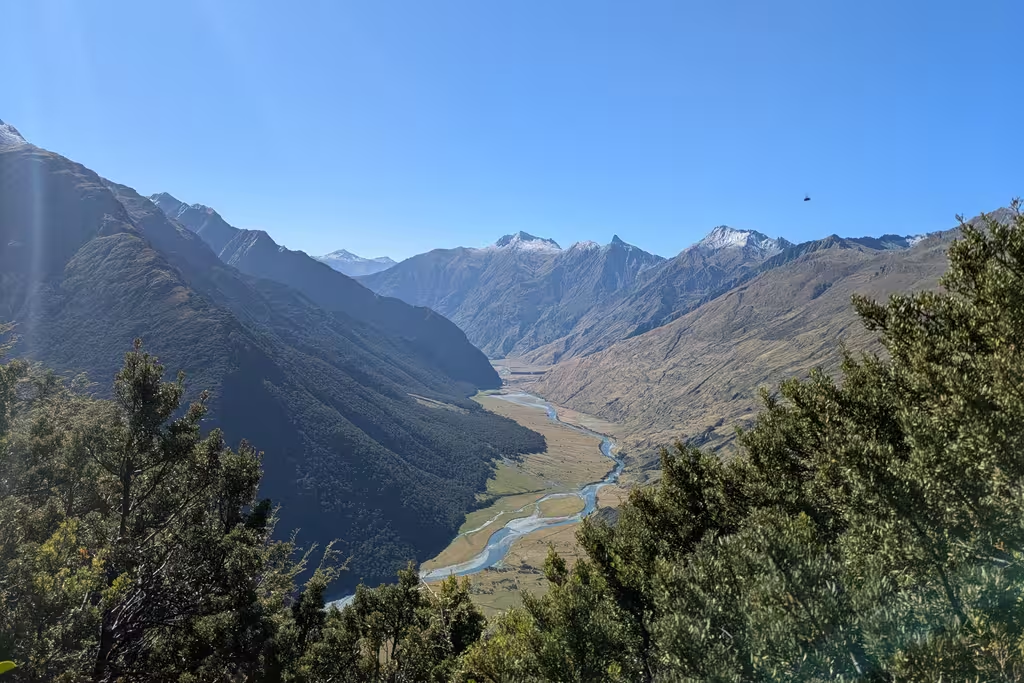
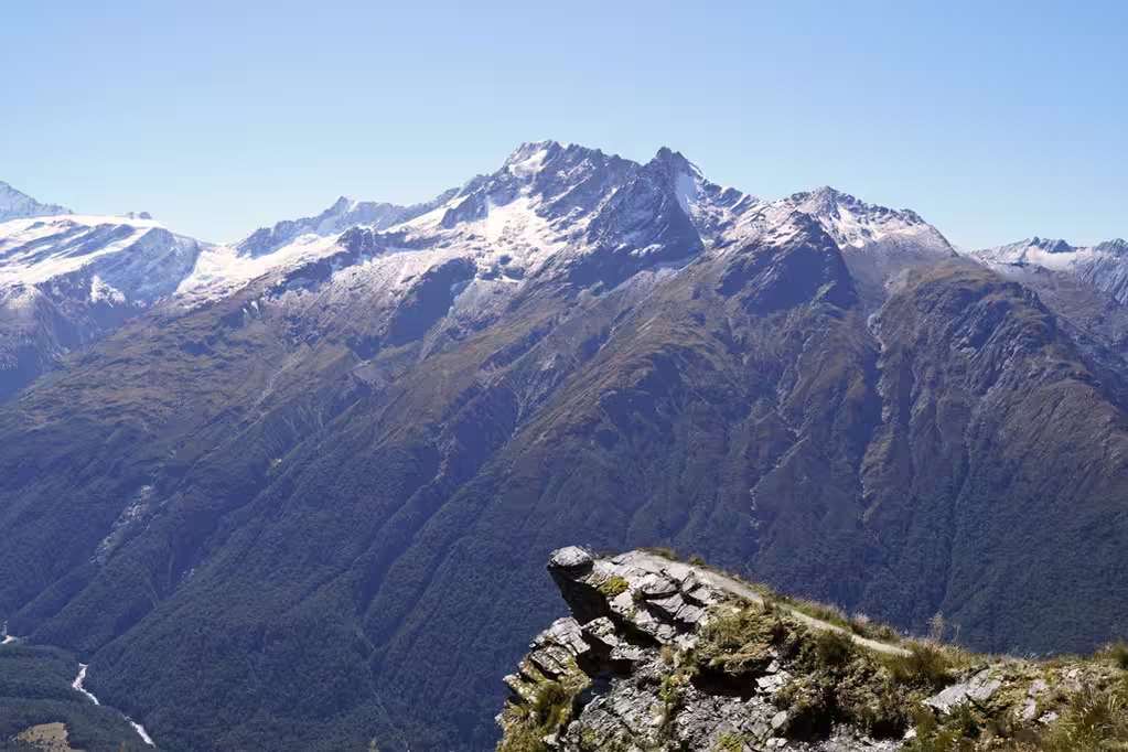
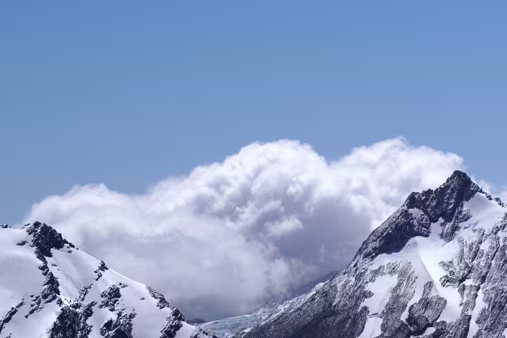
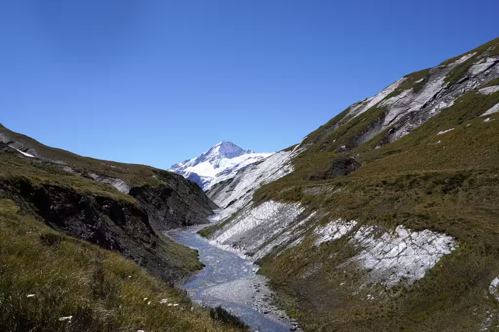
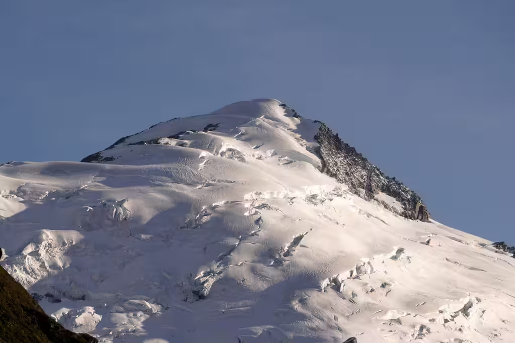
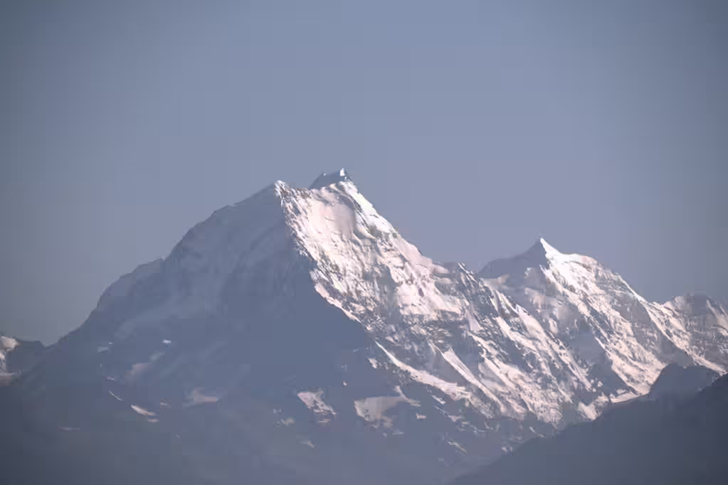
Anyway, the views on the Cascade Saddle itself were most excellent, and comparable to the best of the Canadian Rockies. Dart Glacier is the most prominent glacier, but we also saw Reid Glacier as well as other glaciers later, including Marshall, Hesse, and Bruckner glaciers. I had a few pictures of Mount Māori but couldn’t identify it until I posted to Mastodon and some people pointed it out to me. It was further than I’d expected, but I had zoomed in quite a bit on the pictures.
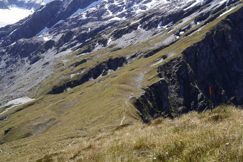
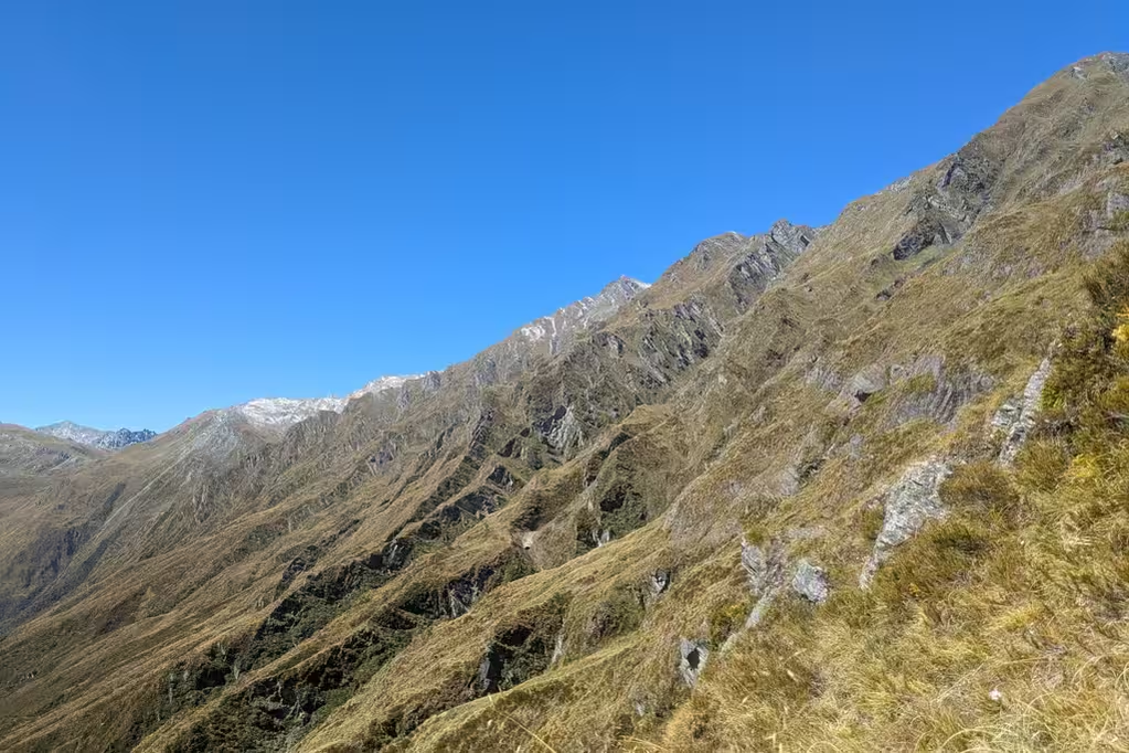
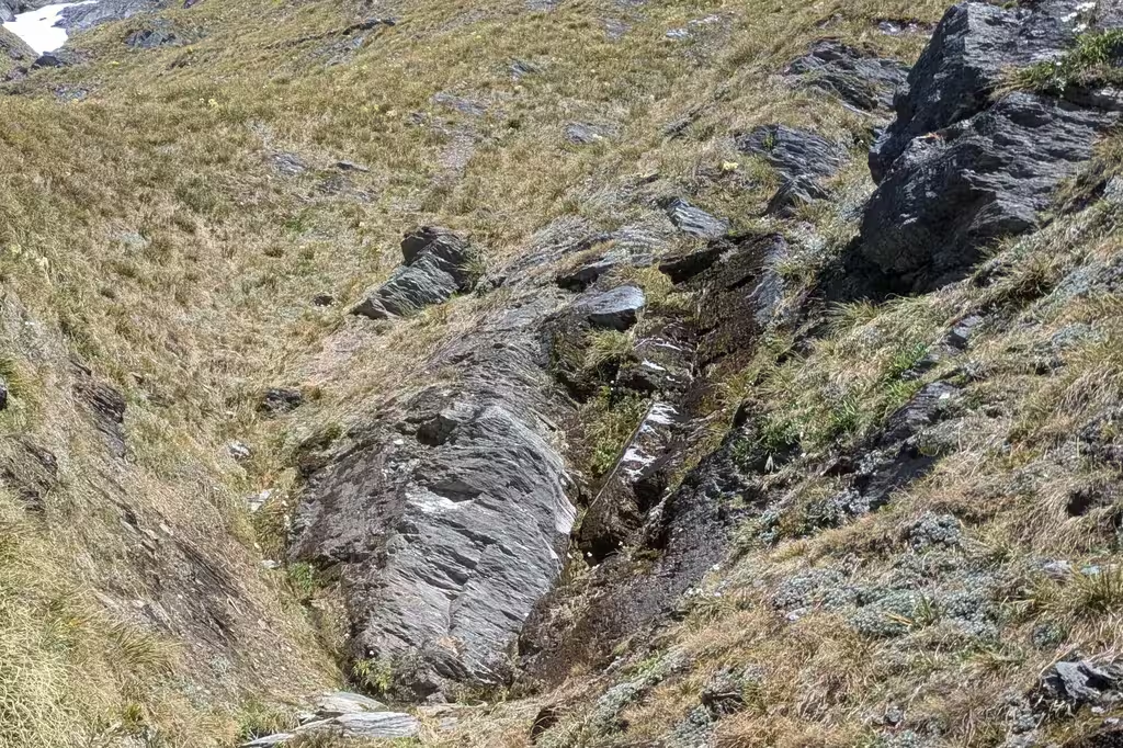
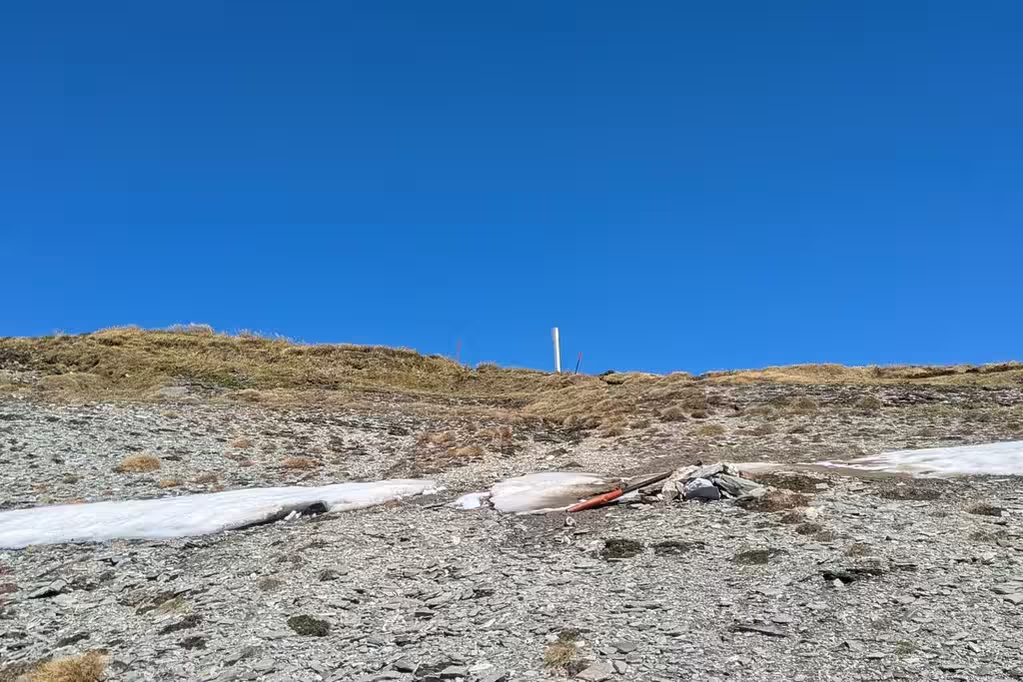
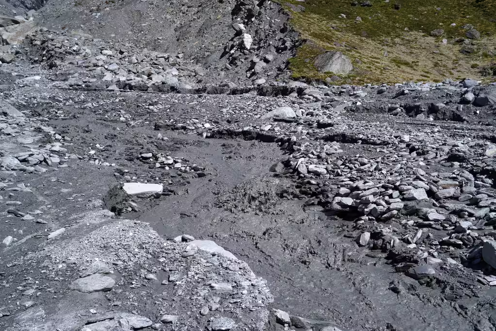
After the Saddle, there is a shale crossing. It’s way less sketchy than the Grande Écaille, for instance, where we called in a helicopter rescue. Then there is a long walk across a moraine with some routefinding (look for the poles). Falling off the moraine would be pretty bad, but you wouldn’t do that.
The last part towards Dart Hut still had good views and was pretty easy. Dart Hut also had heaps (also 6?) of kea, hanging out near the bridge. We got to Dart Hut at 7:20pm, after almost 11 hours on the trail without many stops. DOC time is 8-10 hours. Dart Hut was about half full.
We encountered two people doing the day trip to Cascade Saddle from Aspiring Hut, one person exploring the area around Cascade Saddle (we saw them from a distance), and another person walking to the Cascade Saddle campsite pretty late in the day. We didn’t have the Cascade Saddle totally to ourselves, but by no means was there a crowd. Crowds are rare in the New Zealand backcountry beyond the Tongariro Alpine Crossing.
Dart Hut to Shelter Rock Hut, February 23

There really is one tough day on this trip—the Cascade Saddle. It would be more ideal if the walk to Shelter Rock Hut was a bit longer, and the last day a bit shorter. But anyway, the day after the Cascade Saddle was our short day (excluding the walk in to Aspiring Hut). It’s still about the same as a typical Great Walk day, at 5h39 for 10km and 600m of elevation gain.
First, we were greeted by keas in the morning at the hut and at the nearby bridge, where the kea saw us off.
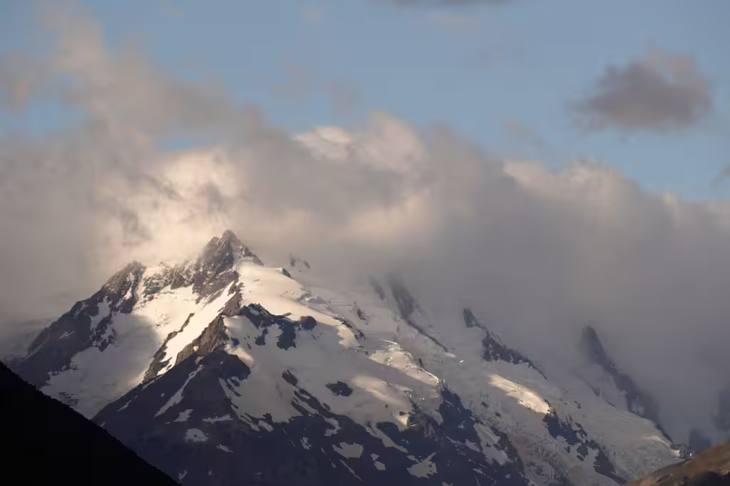
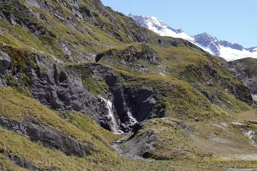
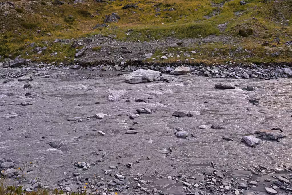
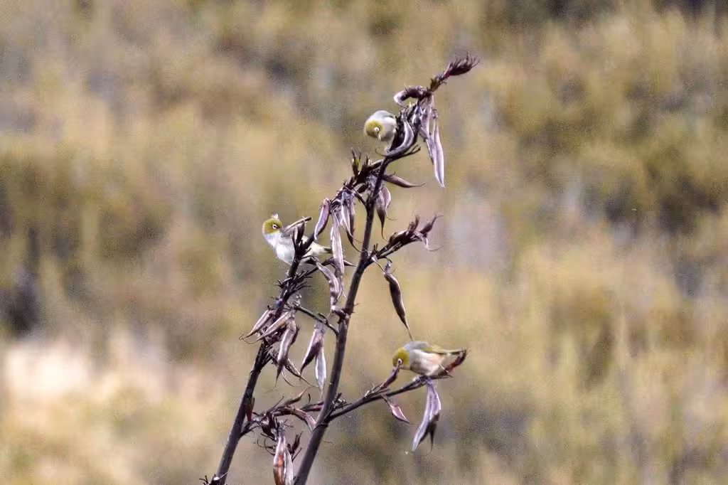
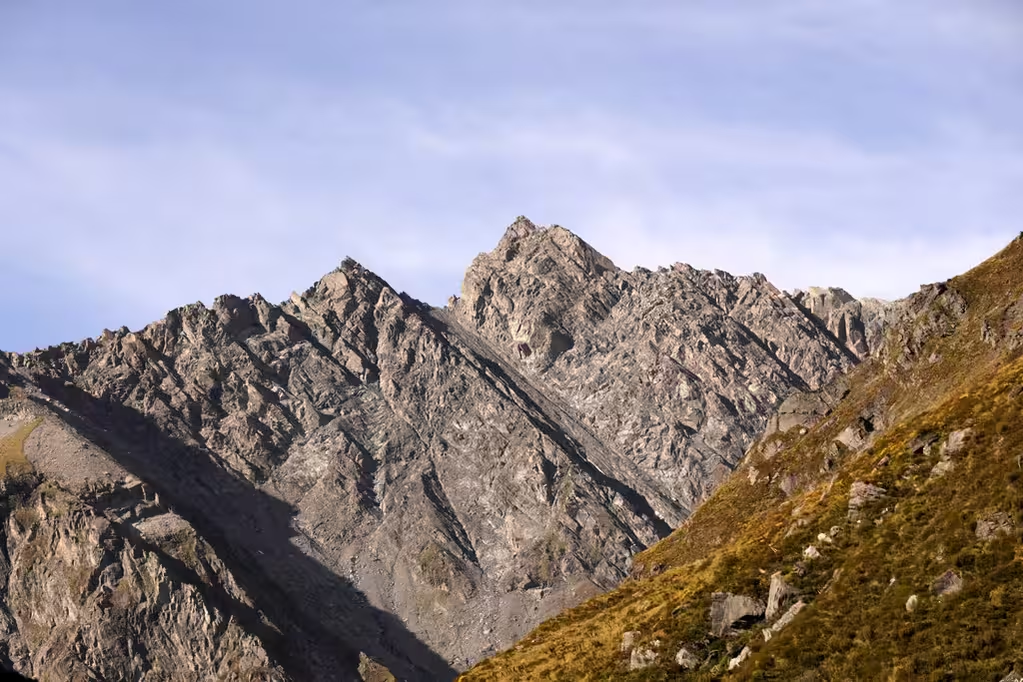
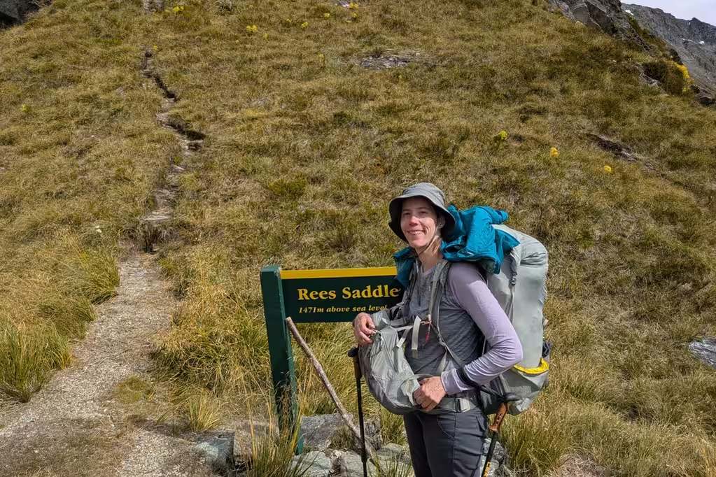
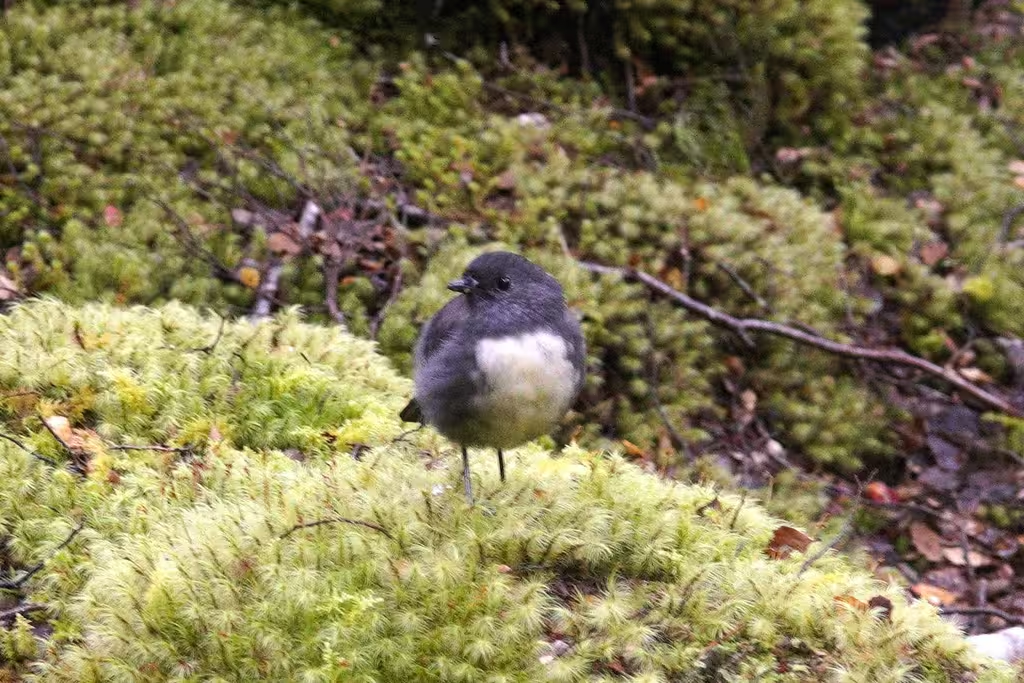
There were still views of glaciated Mount Edward and of the Dart River until we climbed up to the Rees Saddle. Apart from the kea, we saw a few tauhou/silvereye in the trees, though I didn’t get a great picture of them. Getting up to the Rees Saddle accounts for about 400m of the elevation gain of the day, and then we saw the reasonably high (100m?) cliffs ascending to skier’s right of us as we descended to the river.
After the Rees Saddle we walked another 3.5 hours through tussock to Dart Hut. Not quite flat, but not that much elevation either. I was hoping to see a takahē. There was speargrass that was suspiciously eaten, but no rails.
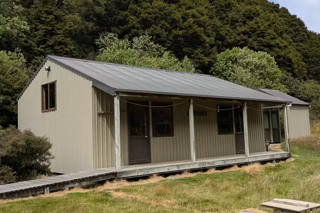
We arrived at Shelter Rock Hut by 1:30pm. It also was not full, though the layout meant that we had other people in our 8-person bunkroom. Both Shelter Rock Hut and Dart Hut are great huts, but Dart Hut is a bit nicer.
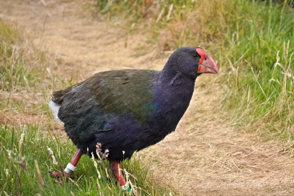
Different birds, though. Dart Hut has keas. Shelter Rock Hut has takahē. The hut book is full of mentions of them. I tried to look for them in the afternoon, but I just saw blackbirds.
After supper, though, three takahē came wandering by for their evening stroll. They were popular! I took a bunch of pictures with my 55-220, which is certainly better than a cellphone can do. I collected email addresses and mailed the pictures to people as well. The point-and-shoot might have done OK (these birds don’t move fast), but I’d think that the mirrorless camera should do better.
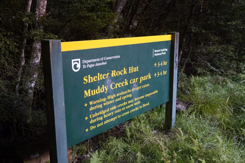
Shelter Rock Hut to Muddy Creek Carpark, February 24
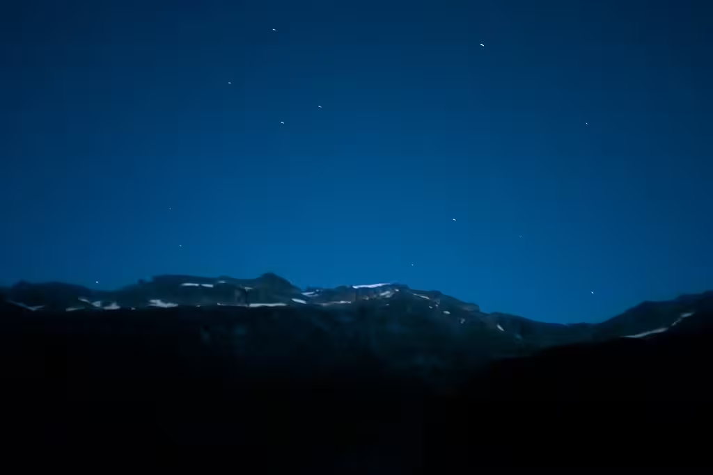
The shuttle was coming to pick us up at 2:30pm, and DOC time from Shelter Rock Hut to Muddy Creek Carpark was 6-8 hours, so we left at 5:30am. I made a half-hearted astrophotography attempt during a middle-of-the-night bathroom break. There’s something I can’t consistently reproduce on my camera: usually I get blurry star pictures.
I turned off my phone to save battery. It turns out that both my phone and my camera reported the wrong time in the morning. The inReach and MP’s phone were consistent. That’s confusing!
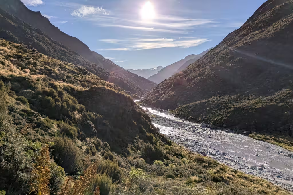
The first hour of the hike might have been scenic, but it was dark, so we didn’t see much. There was also a bit of terrain during the first hour, losing almost 300m of elevation, but nothing too gnarly.
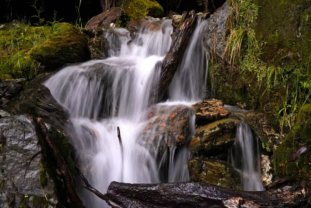
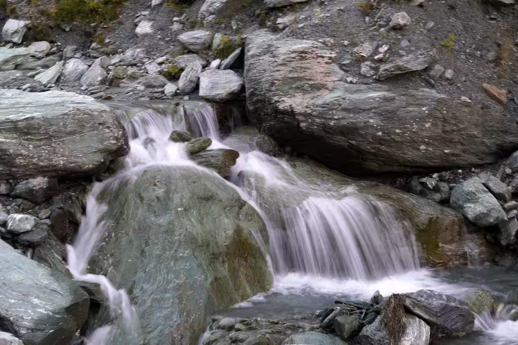
We continued along the Rees River for the rest of the day, and the terrain flattened out. There were some good waterfalls and mist rising from the ground.
We got to the midway point at 8:30, which was certainly on track for catching the shuttle. I’d been warned of pretty deep bogs on the second half of the track. Fortunately, I managed to avoid most of them, though it’s not completely clear where they were. There was a bit of up-and-down where the riverbank would be too steep. We talked to a couple of walkers going the opposite direction, and there was a large party of packrafters that we saw in the distance.
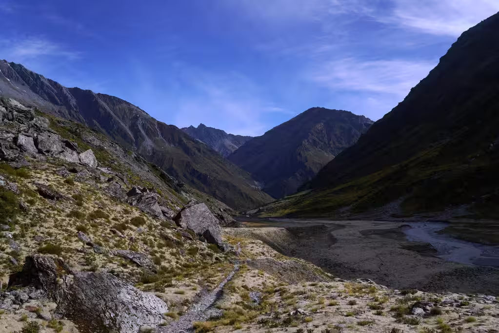
The valley scenery was not bad, but definitely not epic. There were also a couple of vehicles parked in the valley. They had done some off-roading to get there.
Two notes about the end of the track: there’s a last 40m of elevation gain when one might be fed up; and, one wonders why the carpark is where it is and not a bit farther along. The answer to that is that the road crosses a reasonably significant stream that might not be good for normal cars.
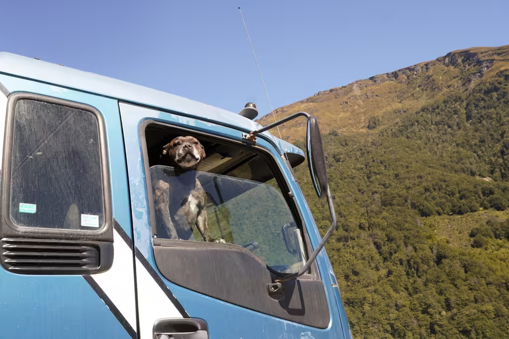
There was also a guy doing roadworks at the end of the road. He had his dog waiting for him in his truck.
We got to the carpark at 12:30 (7 hours, right in the middle of the DOC time estimate) and were looking at a 2 hour wait for the shuttle. As the bugs started to notice us, I figured it would be a good chance to set up the tent. That worked.
The shuttle came an hour early, just about when the 3 other trampers arrived. The shuttle driver was friendly and helpful, leaving the trampers at their hotel in Glenorchy and us at the Queenstown off-airport parking lot.
Back to Wellington, February 25
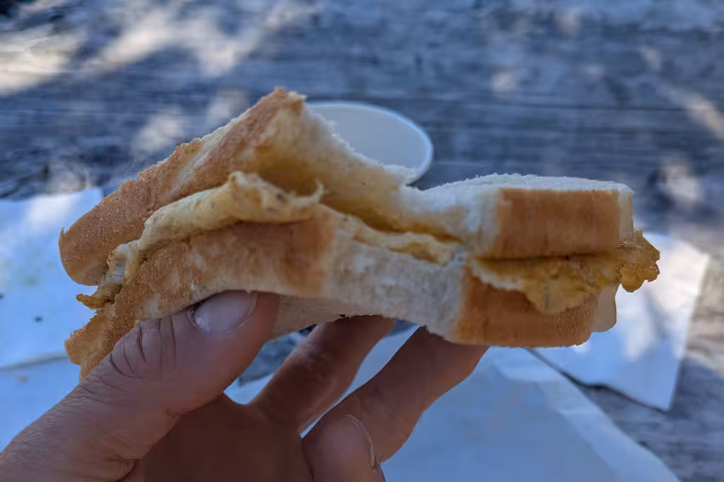
Mostly I had struck out with cabins at holiday parks, but I managed to get one at the Lake Ruataniwha Holiday Park. We had 3 hours of driving after our hike, got to the holiday park, went out for burgers, and then drove the rest of the way to Christchurch the next day. But first, we stopped at the Foodelicious food truck. MP loved her “the works” bacon butty. I had whitebait. People love whitebait, but it doesn’t really taste like much, honestly.
After more obligatory Aoraki pics from Lake Pukaki, we continued on to Christchurch. Ran some errands in Christchurch, notably bringing MP’s pack to Twin Needle for repair. Had to consolidate our gear into our other bags, but managed to do that and get onto an earlier flight to Wellington.
Postscript: Extra day in Wellington, February 26
I was supposed to take a 6am flight, but failed to get transportation to the airport on time: there were no DiDis when I looked, and the Uber just got stuck. Oh well. For a modest fee, I got on a flight the next day, with 36 hours in Vancouver.